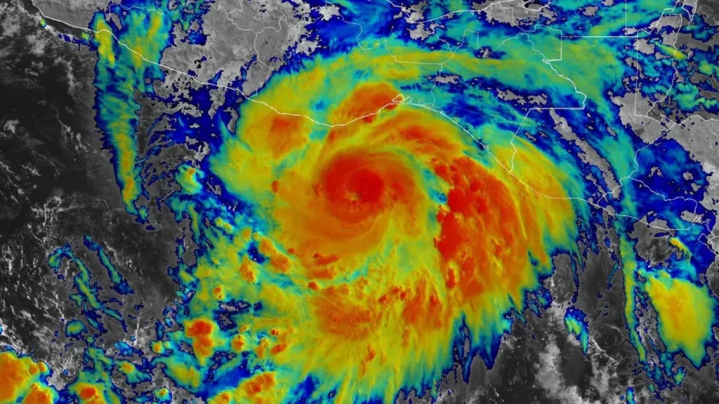
Hurricane Erick has escalated into an extremely dangerous Category 4 hurricane, according to the U.S. National Hurricane Center (NHC). With maximum sustained winds reaching 230 km/h (145 mph), Erick is on a projected path toward making landfall along the Pacific coast of Mexico, particularly impacting the states of Oaxaca and Guerrero.
Rapid Strengthening and Record-Setting Path
Erick’s meteoric intensification since forming on June 17 marks it as the earliest fifth-named storm and the first major hurricane on record in the Eastern Pacific. From Tropical Depression Five-E to a Category 4 storm in less than 48 hours, Erick’s rapid evolution exceeded historical norms for early-season hurricanes in this region.
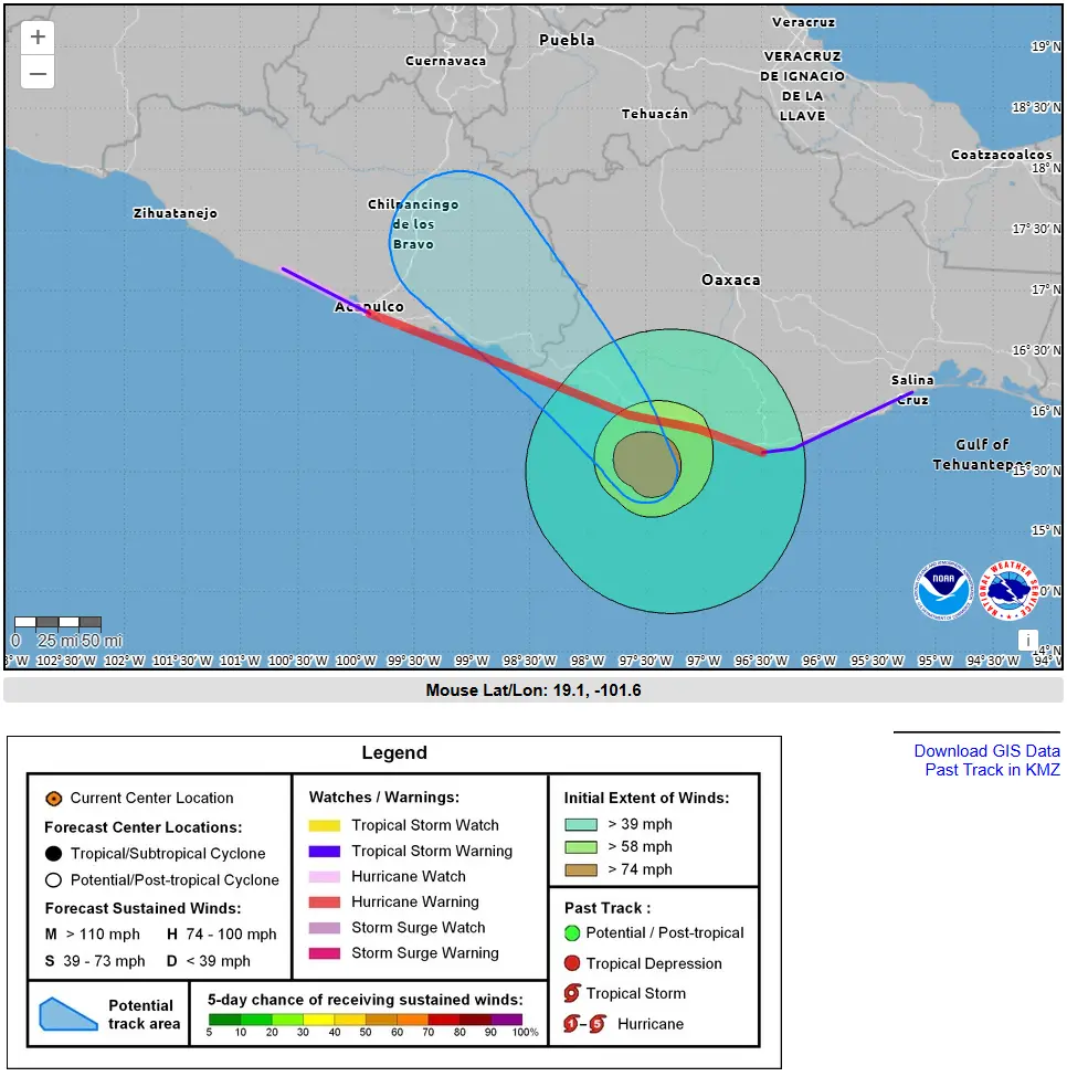
Hurricane Erick Path
As of early Thursday, Erick is positioned approximately 145 km southeast of Punta Maldonado, advancing northwest at around 15 km/h. Forecast models place the center making landfall early Thursday morning along the coastline between western Oaxaca and eastern Guerrero.

A hurricane warning is currently in effect from Puerto Ángel to Acapulco, with tropical storm watches extending westward.
Anticipated Damage: Wind, Surge, Rainfall
Erick’s storm surge and sustained winds pose a significant threat of devastating wind damage, especially near the projected landfall area.
Heavy rainfall accumulation is expected to total 200–400 mm (8–16 inches) along the coastal areas of Oaxaca and Guerrero. Isolated higher amounts up to 500 mm (20 inches) may result in life‑threatening flash floods and mudslides, particularly in mountainous and river-adjacent zones.
Emergency Measures and Preparations
Over 18,000 emergency personnel have been deployed, and more than 2,000 shelters activated in response to Erick’s threat. Several municipalities in Oaxaca and Guerrero have canceled classes, closed ports, and evacuated vulnerable coastal populations.
Authorities have implemented Plan DN‑III‑E, Mexico’s national civil defense protocol, and coastal residents have been urged to secure homes, stock supplies, and seek refuge in designated shelters elpais.com.
What Can You Use For Hurricane Tracker
Public dashboards from Cyclocane, NOAA’s NHC, and Fast Company’s hurricane tracker provide live updates on Erick’s trajectory, wind field, and warning zones. These tools are essential for forecasting shifts in the storm’s hurricane path and preparing affected communities.
Regional Significance and Aftermath
Erick represents the first major hurricane to threaten southern Mexico in the 2025 Pacific season. Coastal communities still recovering from Hurricane Otis (Category 5, October 2023) are especially vulnerable to Erick’s impacts.
While Erick poses no direct threat to the continental United States, meteorologists expect Erick’s remnants could transport tropical moisture northward—potentially affecting South Texas in the coming days.
What to Watch For in the Coming Hours
-
Changes in Hurricane Erick path, especially northward or slower speed adjustments
-
Rainfall intensities triggering flash floods or landslides in Oaxaca’s highlands
-
Effectiveness of emergency sheltering and evacuations in Guerrero
-
Erick’s expected weakening over mountainous terrain post-landfall
Local residents and coastal visitors of the affected zones are advised to follow evacuation orders rigorously, avoid flood-prone areas, and monitor official bulletins.


