Malibu Fire’s Rapid Escalation
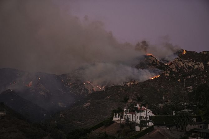
The Franklin Fire initially sparked near Malibu Canyon Road and quickly expanded south, fueled by strong Santa Ana winds and extremely low humidity. By Tuesday afternoon, the fire’s footprint had ballooned from 100 acres to over 2,700 acres, with zero containment reported. Fire officials warn that the combination of dry conditions and erratic winds is creating “extremely dangerous fire behavior,” worsening an already perilous situation.
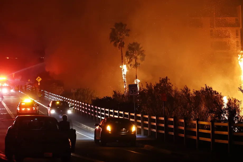
The National Weather Service has issued a rare red flag warning, designating the conditions as a “particularly dangerous situation.” Winds gusting at 40 to 65 mph are feeding the flames, while local wind patterns are being disrupted, further complicating firefighting efforts.
Mandatory Evacuations and Widespread Impact
Over 18,000 people and 8,100 homes are under evacuation orders or warnings of Malibu fire, with mandatory evacuations spanning areas east of Malibu Canyon Road and south of Piuma Road. The affluent Serra Retreat neighborhood is among the hardest hit, as residents were evacuated amid scenes of rapidly advancing flames.
Legendary actor Dick Van Dyke, a long-time Malibu resident, and his wife Arlene were among those forced to leave their home. “We’re praying that our community in Serra Retreat will survive these terrible fires,” Van Dyke shared, noting that one of their pets was still unaccounted for.
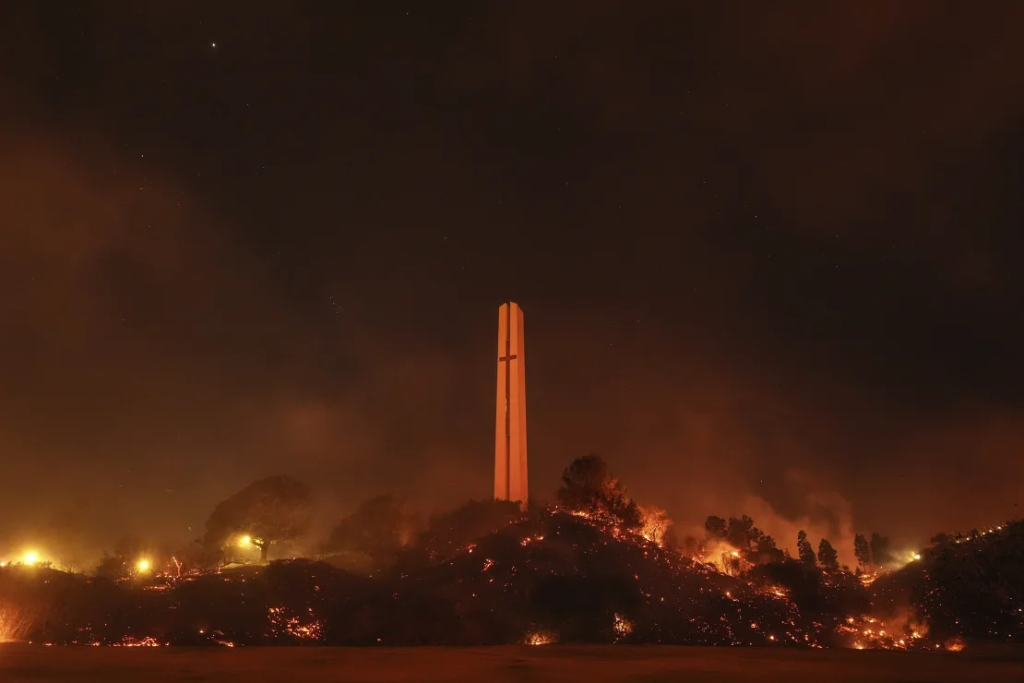
Pepperdine University, situated near the fire zone, has canceled classes and exams, with some buildings running on generator power due to a widespread blackout.
Map of Malibu Fire and Evacuation Zones
Real-time fire maps provided by Los Angeles County Fire Department show the Franklin Fire stretching from Malibu Canyon Road to the Pacific Coast Highway (PCH), threatening neighborhoods like Malibu Knolls, Sweetwater Mesa, and the historic Malibu Pier. The PCH has been closed from Carbon Canyon to Corral Canyon, and traffic signals in affected areas are malfunctioning due to power outages.
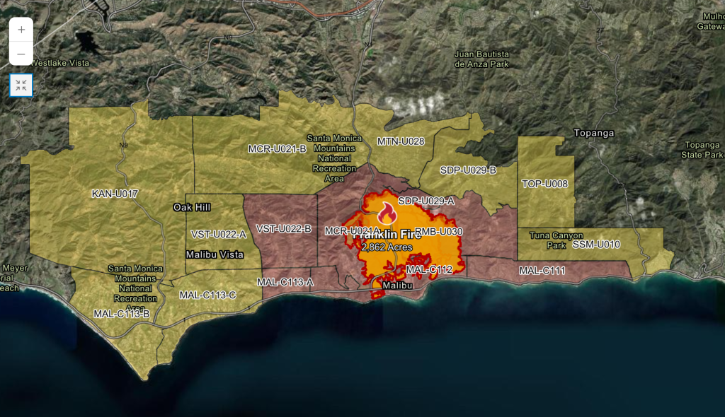
The City of Malibu and emergency services have set up evacuation centers at Palisades Recreation Center and large animal shelters at Pierce College in Woodland Hills. Residents are urged to stay updated via local radio broadcasts and the city’s emergency alert system.
California’s Response to the Malibu Fire
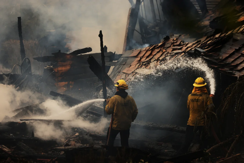
Governor Gavin Newsom has secured a FEMA grant to aid firefighting efforts, and Los Angeles County has declared a local state of emergency. Over 500 firefighters are battling the flames in rugged terrain, with helicopters and fixed-wing aircraft assisting from the air.
However, the challenges remain immense. Nearly 60,000 California residents are without power due to preventative shut-offs by utility providers aimed at reducing the risk of sparking additional fires.
Outlook and Fire Containment Efforts
The Franklin Fire is expected to remain a significant threat until Wednesday afternoon when weather conditions are anticipated to improve slightly. While the arrival of more humid air may help slow the fire’s spread, the forecasted rain is unlikely to provide substantial relief.

As Malibu residents face the grim reality of rebuilding, this wildfire underscores the ever-present risk posed by California’s fire season. The map Malibu fire and its evacuation zones can be found on official emergency websites, offering critical guidance for those navigating the disaster.
Stay Informed and Prepared
Residents in affected areas should continue to monitor updates via official channels like Malibu City Alerts and the Genasys Emergency Website. For those displaced, evacuation shelters and resources are available, offering essential support during this crisis.
The Franklin Fire serves as a stark reminder of the destructive potential of wildfires in California. As emergency crews work tirelessly to contain the blaze, the community’s resilience will undoubtedly shine through in the days to come.


