


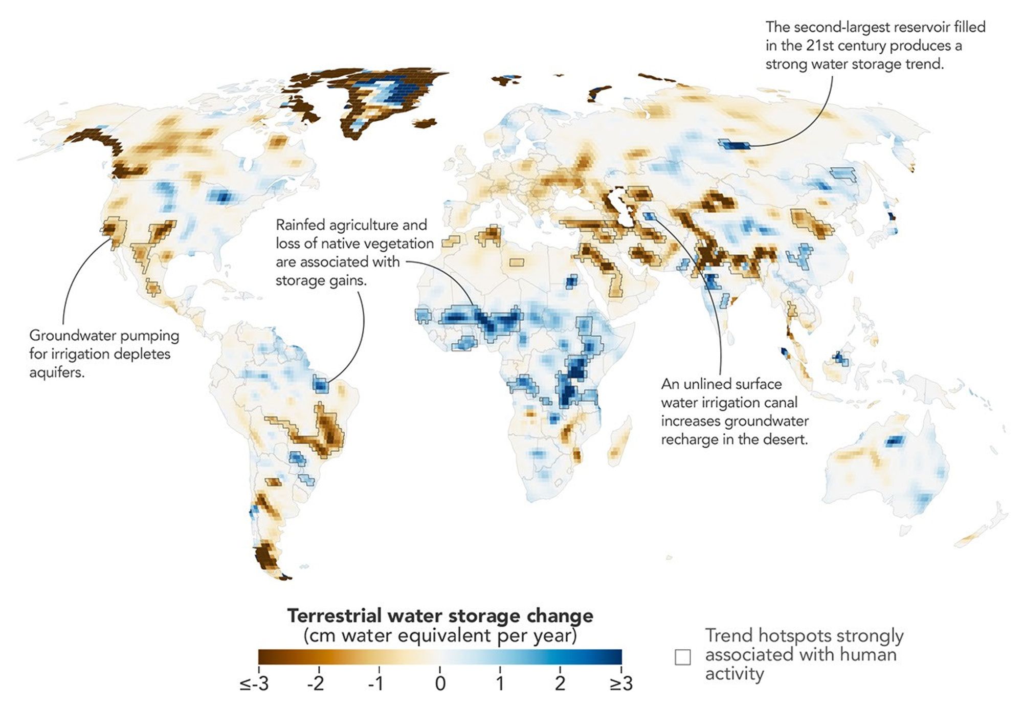
A new analysis of more than 20 years of satellite data reveals that human activities have become deeply intertwined with the distribution of water across continents. The study, led by researchers at NASA’s Goddard Space Flight Center, provides the sharpest picture yet of how agriculture, reservoir construction, and land-use changes are altering terrestrial water storage.
Using measurements from the Gravity Recovery and Climate Experiment (GRACE) and GRACE-FO missions, scientists tracked subtle shifts in Earth’s gravity caused by the movement of water and ice. By combining data from over 20 years, they achieved a spatial resolution five to 10 times more detailed than previous analyses. This allowed them to identify 40 specific regions where water storage trends aligned closely with human intervention, rather than natural climate variability.
Groundwater Depletion in Key Agricultural Regions
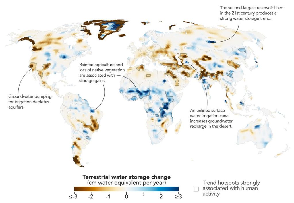
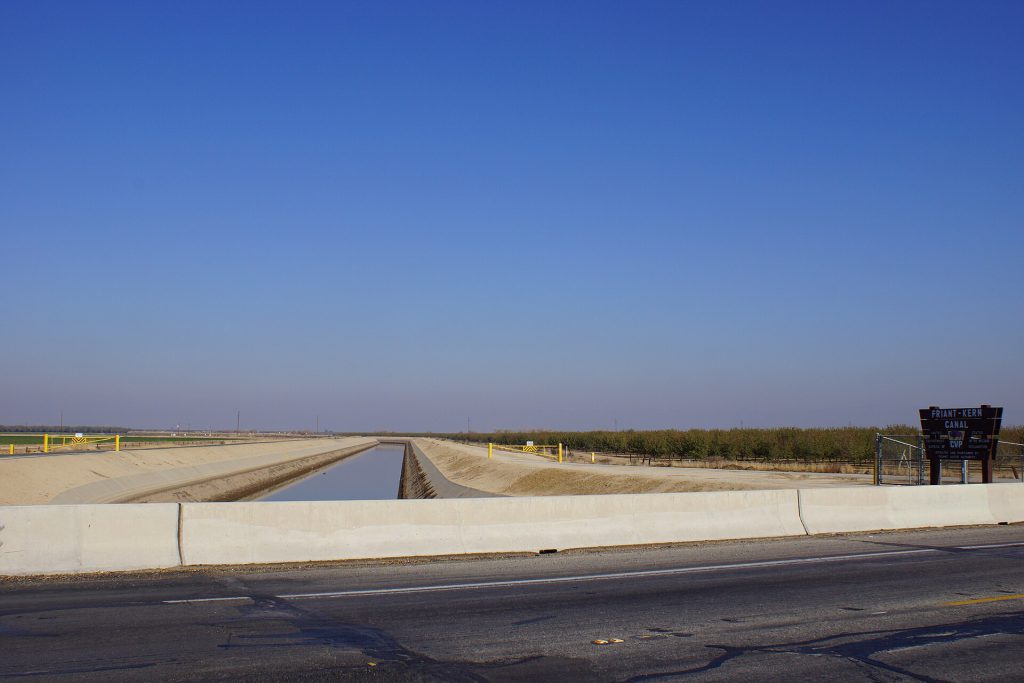
The study found that groundwater-irrigated farmland was strongly associated with declines in water storage across several continents. In North America, significant drops were recorded in California’s Central Valley, the southern High Plains of the United States, and Chihuahua, Mexico. These declines were driven by long-term droughts that increased farmers’ reliance on underground aquifers.
Similar patterns emerged in northern India, where the refined analysis showed a steeper downward trend in groundwater storage than earlier estimates suggested. While retreating Himalayan glaciers contributed to water loss in the region, they accounted for only 15 percent of the decline. The majority of the loss was linked to intensive agricultural pumping.
“In four continental regions, an anthropogenic variable showed a stronger relationship with the storage trends than any climate variable did,” said Mary Michael O’Neill, a hydrologist at NASA and the study’s lead author. These regions included the areas mentioned above, where human water management practices have had a more pronounced effect than natural weather patterns.
Reservoirs and Irrigation Canals Alter Local Hydrology
While groundwater extraction often reduces storage, other human activities have increased it. The filling of hundreds of large reservoirs during the study period created noticeable water storage gains. The new high-resolution map allowed researchers to track these projects individually, something previous coarse data could not achieve.
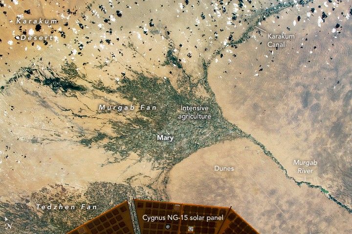
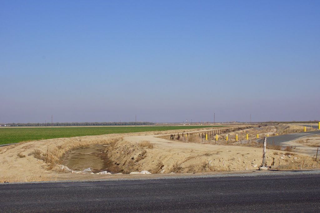
For example, the Boguchany Reservoir on Russia’s Angara River, the second-largest reservoir filled in the 21st century, produced the strongest water storage trend in nonpolar northern Asia. Smaller engineering projects also left a mark. The Karakum Desert in Turkmenistan registered water storage gains due to the Karakum Canal, which diverts river water for desert agriculture. Water seeping from the largely unlined canal has altered the local water picture, raising water tables in an otherwise arid region.
In some parts of sub-Saharan Africa and northern Brazil, the expansion of rainfed cropland led to unexpected increases in water storage. In these areas, native savanna and forest were replaced by crops like millet and soybeans. Researchers suggest that the efficient water use of these plants, combined with Indigenous land management practices, helped direct water into shallow aquifers, raising water tables despite below-average precipitation.
Future Monitoring and Policy Implications
The improved spatial detail uncovered human impacts that had not been previously detected, according to Matthew Rodell, deputy director of Earth Sciences for Hydrosphere, Biosphere, and Geophysics at Goddard. The analysis also confirmed that some known trends were stronger than previously realized.
O’Neill plans to use this higher-resolution data to track how dams, diversions, and irrigation affect water storage downstream. She also aims to disentangle the influence of local activities from non-local factors. One approach involves combining the high-resolution data with standard monthly products to recover more temporal detail. This would help track how localized trends evolve in response to specific events like droughts or policy changes.
The findings underscore the growing role of human management in the global water cycle. As climate variability continues to affect precipitation patterns, the ability to monitor and understand these human-induced changes becomes increasingly important for water resource planning.
Source: NASA
