


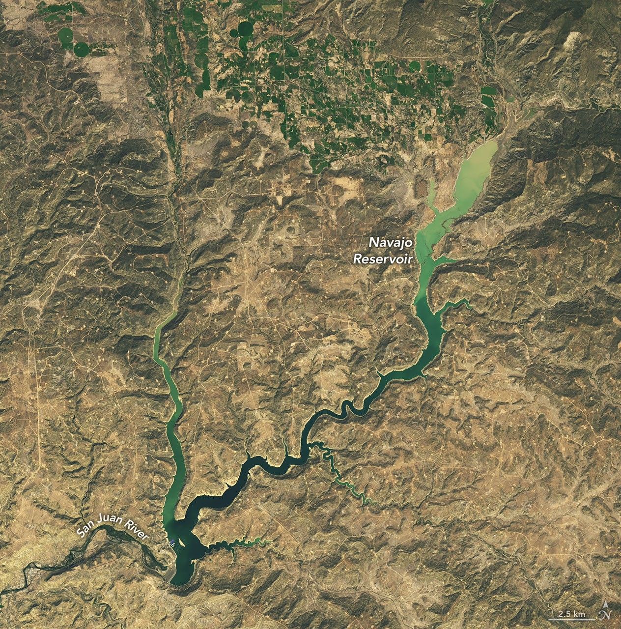
Back-to-back extreme rain events in late October and early November 2026 transformed the hydrological landscape of the U.S. Southwest. The storms rapidly filled New Mexico’s second-largest reservoir, bringing water levels to their highest point since August 2019. According to data from the U.S. Army Corps of Engineers, the Navajo Reservoir rose by nearly 60 feet (18 meters) in just a few weeks, reaching 108 percent of its average capacity for that time of year.
Rapid Water Level Changes Captured by Satellites
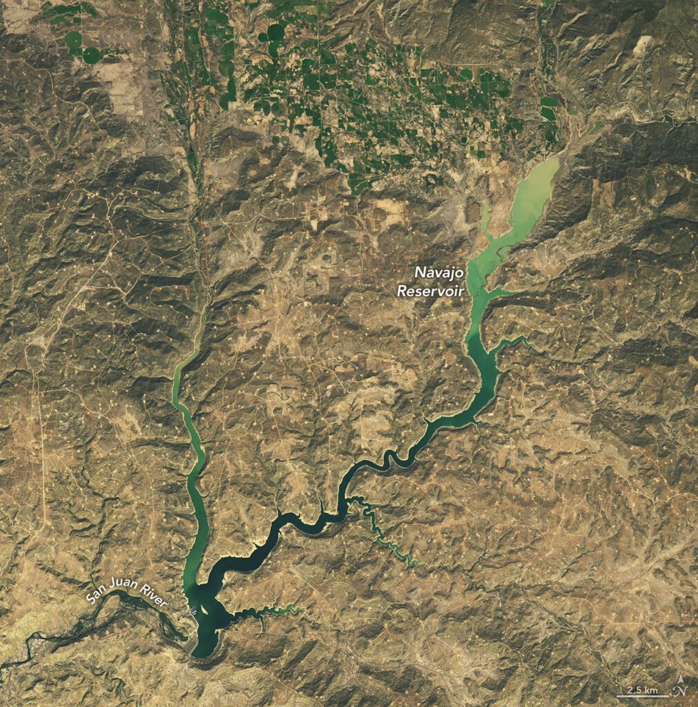
Satellite imagery acquired by NASA’s Earth Observatory highlights the dramatic shift in water storage. Images taken with the Operational Land Imager on Landsat 9 show the reservoir on September 20 and November 7. The visual difference is stark, with the lake in northern New Mexico and southern Colorado expanding significantly as runoff from surrounding rivers poured in.
The Bureau of Reclamation had decreased releases from Navajo Dam on September 16 and 17, but the subsequent deluge overwhelmed those adjustments. In September, the reservoir held only 60 percent of its average capacity. By early November, it had not only recovered but surpassed typical levels. This rapid recovery contrasts with the previous spring, when a snow drought across the West limited the usual snowmelt that typically raises water levels during that season.
Flooding Impacts Communities Along the San Juan River
While the reservoir gains provided drought relief, the heavy rainfall caused immediate hazards for communities in the Four Corners region. The San Juan, Piedra, and other rivers swelled with runoff, leading to record or near-record levels in several areas. Pagosa Springs, Colorado, located about 40 miles northeast of the lake, experienced severe flooding along the San Juan River.
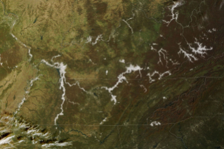
During the first round of rain, the town received 5.05 inches (12.8 centimeters) of precipitation. On October 23, the river reached major flood stage. A second wave of rain caused the river to spike again on November 1, bringing it nearly to the record level set during a devastating flood in 1911. Local officials issued evacuation orders, and responders rescued dozens of residents as water inundated streets and damaged property.
Precipitation totals across southwest Colorado, southeast Utah, northern Arizona, and northwest New Mexico were two to four times the average from early September through early November. These storms alleviated short-term drought conditions that had been exacerbated by high temperatures and low snowpack in 2026. Weekly U.S. Drought Monitor maps indicated significant improvements, with the group noting on November 3 that short-term drought had ended for the Southwest and Great Basin, although long-term drought persists in some areas.
Experts attribute the wet weather to El Niño patterns currently underway. This climate phenomenon strengthens the eastward-flowing segment of the jet stream near the equatorial Pacific. The low-pressure system that delivered the heavy rainfall in autumn 2026 was positioned at a low latitude for the time of year and drew energy from unusually high ocean temperatures. These conditions increased the likelihood of moisture-laden storms being steered across the Southwest interior.
Source: NASA
