


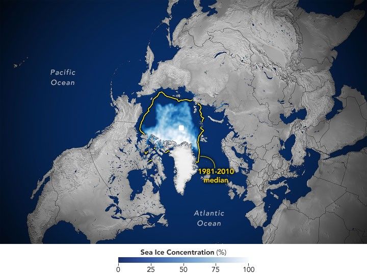
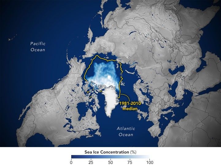
Arctic sea ice reached its annual minimum extent on September 12, 2026, covering an estimated 4.6 million square kilometers (1.78 million square miles). This measurement ties the 2008, 2010, and 2025 records for the 10th-lowest minimum in the satellite era, according to NASA and the National Snow and Ice Data Center (NSIDC).
2026 Arctic sea ice minimum ties historic lows
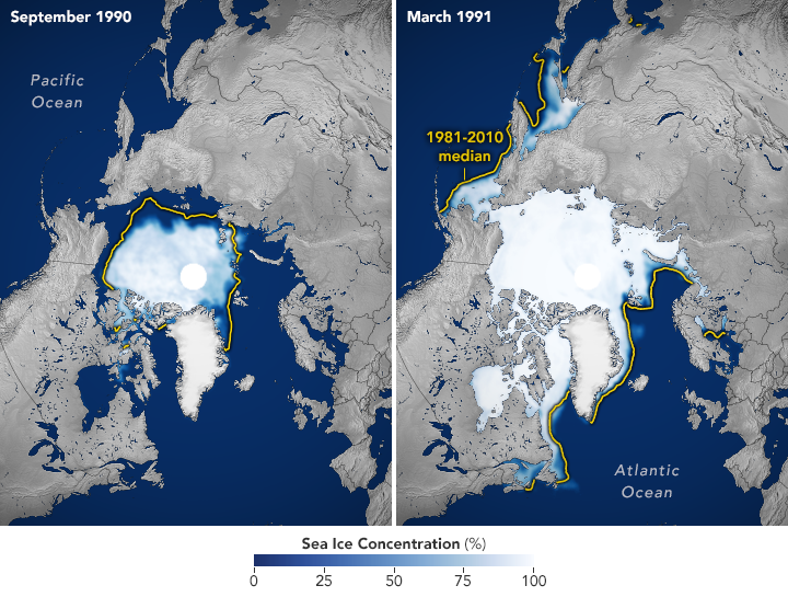
The annual cycle of Arctic sea ice involves growth during the polar winter, peaking in March, followed by melting through the summer to its lowest point in September. While this fluctuation is a natural phenomenon, satellite records indicate that the ice now covers significantly less area at both its annual maximum and minimum compared to a few decades ago.
Scientists have continuously monitored the growth and retreat of Arctic sea ice using satellites since late 1978. The data reveals a steep decline in ice extent, particularly during the 2000s, which triggered a run of record and near-record lows. Every summer from 2007 through 2026 ranks among the 20 lowest minimum extents recorded since observations began.
The lowest minimum extent in the satellite record occurred in September 2012. More recently, the September sea ice extent has shown relative stability. Weather patterns play a significant role in annual variations. For instance, increased cloud cover over the past decade has limited sunlight, which prevented some of the accelerated melting that might otherwise have occurred.
Decline in multiyear ice and rising temperatures
Despite the recent plateau in summer minimums, the ice that remains is younger and thinner. Observations show a marked decline in multiyear ice, which survives at least one melt season. The Arctic is now dominated by thinner first-year ice. Winter ice is also shrinking, with the March 2026 maximum statistically tying the 2025 maximum for the lowest in the satellite record.
Natural variability cycles, such as the Arctic Oscillation, influence sea ice extent. However, the long-term decline observed in the satellite record cannot be explained by natural variability alone. Rising global temperatures and natural variability have worked together to melt greater amounts of Arctic sea ice.
Scientists project that an essentially ice-free Arctic could occur at least once before the middle of the 21st century. To track these changes, researchers use satellites equipped with passive microwave sensors. These sensors measure the microwave energy emitted by Earth. Sea ice emits more of this energy than open water, making it visible in microwave images regardless of cloud cover.
The satellite record began in 1978 with data from NASA’s Nimbus-7. It was followed by the Defense Meteorological Satellite Program starting in 1987 and NASA’s Aqua satellite between 2002 and 2011. Starting in 2025, scientists began using observations from the Japan Aerospace Exploration Agency’s GCOM-W satellite. The white circle at the center of satellite images represents the pole hole, where sensors historically could not collect data. Estimates assume this area is ice-filled.
Source: NASA
