


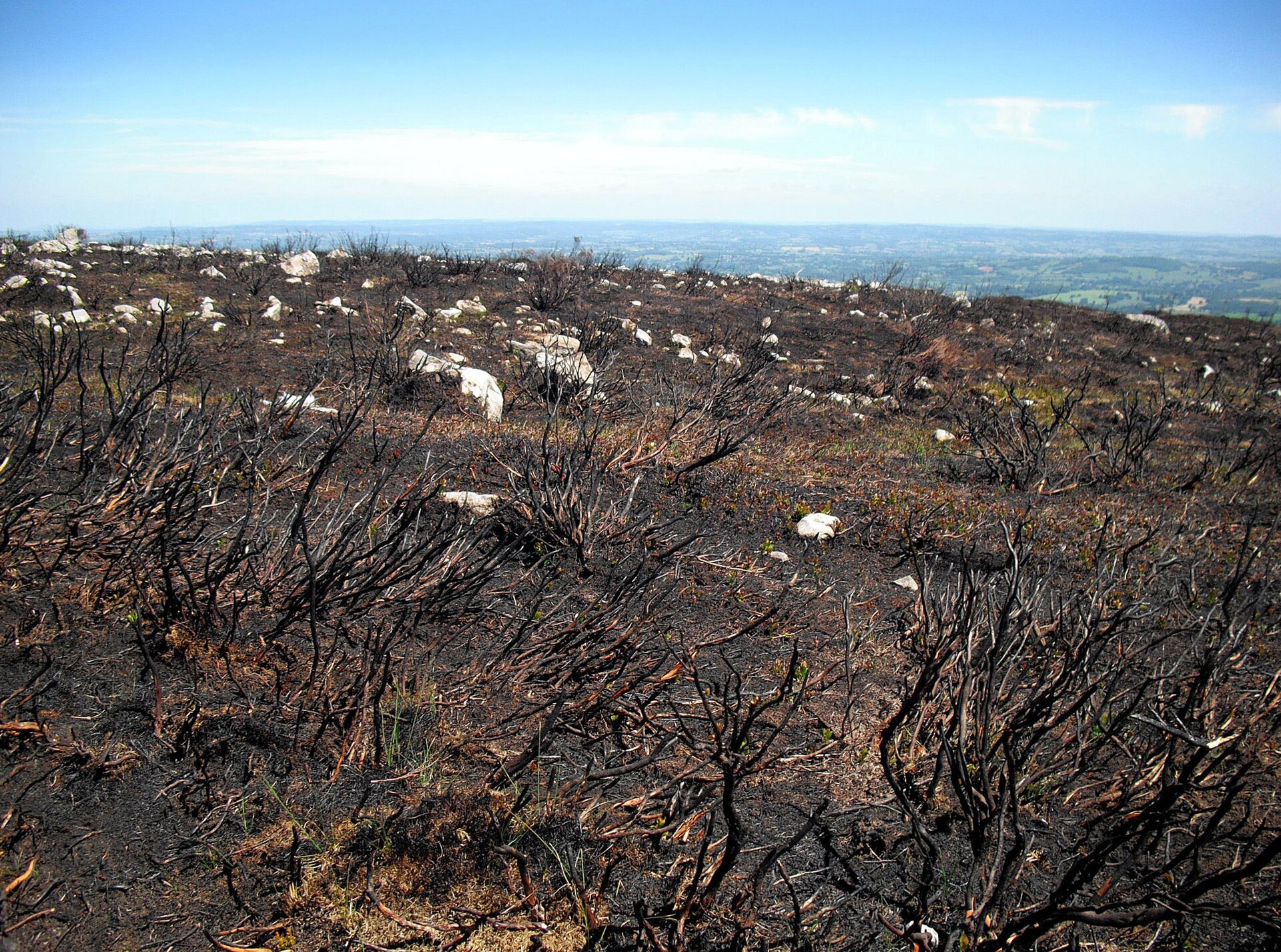
Three months after a massive wildfire tore through the Cairngorms National Park, the landscape appears largely recovered to the naked eye. Blackened tree trunks and scorched earth dominate the view, yet beneath the surface, the fire is not finished. Drone pilot Pete Short launches a thermal aircraft into the early morning sky to hunt for heat signatures that remain invisible from the ground.
The July blaze burned across approximately 3,300 hectares, or 33 square kilometers, of land. While the visible flames have long since vanished, the ground retains significant heat. Short, who has been conducting these dawn patrols for nearly three months, notes that the technology is essential for seeing what human eyes cannot. Without thermal imaging, he says, responders would be totally blind to the remaining danger.
Thermal Drone Technology in Action
Short operates in a landscape that was one of the most challenging environments he has ever flown in. During the height of the emergency, five experienced pilots were deployed to provide aerial data to emergency agencies. They navigated multiple walls of flame, moving vehicles, and overhead helicopters. Now, the task is quieter but equally critical.
On a recent flight, Short identified a white glow on his thermal screen beneath a tree. The team drove to the coordinates and found the soil warm to the touch. After scraping away a thin layer of dirt, smoke began to rise. This is the reality of the post-fire phase. Each hotspot detected by the drone is reported to land managers, who then send ground teams to dig into the earth and douse the embers with water.
Ben Jones, the senior site manager for the RSPB at Abernethy, relies on this precision. He explains that resources are limited and they cannot send personnel everywhere at once. Knowing the exact location of specific hotspots allows them to work efficiently. Jones warns that ignoring these spots is not an option, as each one has the potential to reignite a larger fire.
Long-term Monitoring of the Cairngorms National Park
The role of the drones is expanding beyond immediate fire suppression. Short is now programming the aircraft to fly identical routes repeatedly. By using predetermined waypoints, the drones capture photographs and video from the exact same positions month after year. This data allows conservationists to build a detailed record of how the landscape changes over time.
Dr Sarah Henshall, head of conservation at the Cairngorms National Park Authority, says this standard drone route will provide amazing information about recovery. She notes that while some ecological impacts will be quick, others could take decades or even longer to resolve. The full impact of the fire is still unknown, but the data collected will help track the process.
There is also potential for this technology to prevent future disasters. Short believes that getting a view above the tree canopy quickly could be critical in stopping wildfires before they spread. The same thermal tools used to find hidden heat now could help identify new threats early.
As the forest shows signs of life with green shoots and fungi emerging from the blackened ground, the hidden fire continues to burn below. The next ground team is already being dispatched to extinguish the latest spot found by the drone.
Source: BBC
