


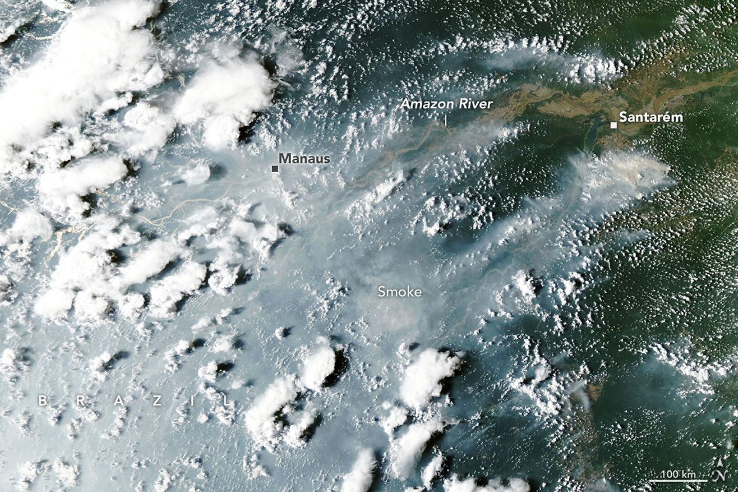
Satellite monitoring systems have detected a sharp increase in fire activity and smoke emissions across the central and eastern Amazon rainforest. The surge, which began in September 2026, coincides with severe drought conditions driven by the El Nino climate pattern. Scientists warn that the region has entered the early stages of what is expected to be a long and intense fire season.
Manaus Air Quality Crisis
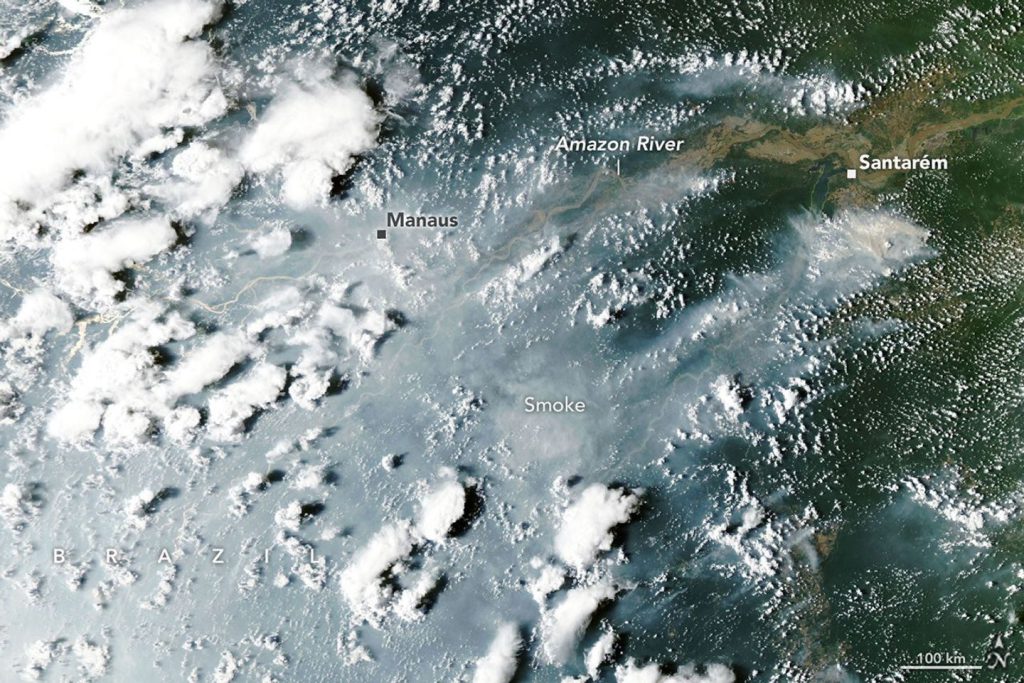
The impact on local communities has been immediate and severe. On October 12, 2026, NASA’s Aqua satellite captured images of heavy smoke streaming from fires on both sides of the Amazon River. The smoke socked in Manaus, the capital of the Brazilian state of Amazonas, disrupting daily life for its population of more than 2 million people.
City officials reported extremely poor air quality that day, with fine particulate matter (PM 2.5) values exceeding 135 micrograms per cubic meter. This reading represented the second-worst rating on the regional air quality index. In response to the hazardous conditions, schools closed and citywide events, including children’s sports leagues, were canceled.

The Tropical Fire Cascade
Douglas Morton, an Earth system scientist at NASA’s Goddard Space Flight Center, describes the current situation as part of a broader “cascade” of fires across the tropics. This pattern typically begins in equatorial Asia with drought and peat fires, followed by elevated fire activity in the Amazon.
Morton and colleagues from the University of California, Irvine, Vrije Universiteit Amsterdam, and the University of Maryland detailed this pattern in a 2017 study following the 2015-2016 El Nino event. They observed the same sequence during the 2023 El Nino. The current 2026 El Nino has followed this established trajectory, with drought and fire smothering parts of Indonesia since August.
“Now, in the Amazon, we’re seeing the second domino in the cascade fall,” Morton said. He noted that the fires are currently concentrated in the Brazilian states of Pará and Amazonas, with the next wave expected to hit farther north in November and December. This northern wave will likely affect Roraima, northern Pará, Amapá, and parts of Venezuela, Guyana, and Suriname. The southern Amazon regions of Brazil and Paraguay are expected to face peak drought and fire risk around August and September 2027.
Human Ignition and Satellite Gaps
While lightning ignites less than 1 percent of fires in the wet Brazilian Amazon, the vast majority of current blazes are human-caused. Brazil’s National Institute of Meteorology reported that rainfall in Manaus was 95 percent below normal in August and 60 percent below normal in September. These management fires, often used to clear shrubs from pastures or crops from fields, have escaped their intended boundaries and are now burning freely through the parched understory.
Shane Coffield, an assistant research scientist at NASA Goddard, estimates there are 50 to 70 uncontrolled fires burning in the Santarém region alone. He is currently mining fire observations from the Visible Infrared Imaging Radiometer Suite (VIIRS) to identify fires that did not meet the threshold for official data products. Coffield found about 40 percent more fires in the Santarém area than active fire counts from the Fire Information for Resource Management System (FIRMS) indicate.
Satellites often miss these fires due to dense smoke, clouds, and tree canopy cover, which block the infrared signals of lower-intensity fires spreading along the forest floor. “On some of the smokiest days, we have very few detections from MODIS and VIIRS, and we know that isn’t right,” Coffield said.
Morton expects the fires around Santarém and Manaus to continue until the rainy season arrives in December 2026 or January 2027. He emphasized the urgency for preparation in the regions yet to be affected. “Given the intensity of this El Nino, this really is the year for people to avoid burning at all costs,” Morton said.
Source: NASA
