


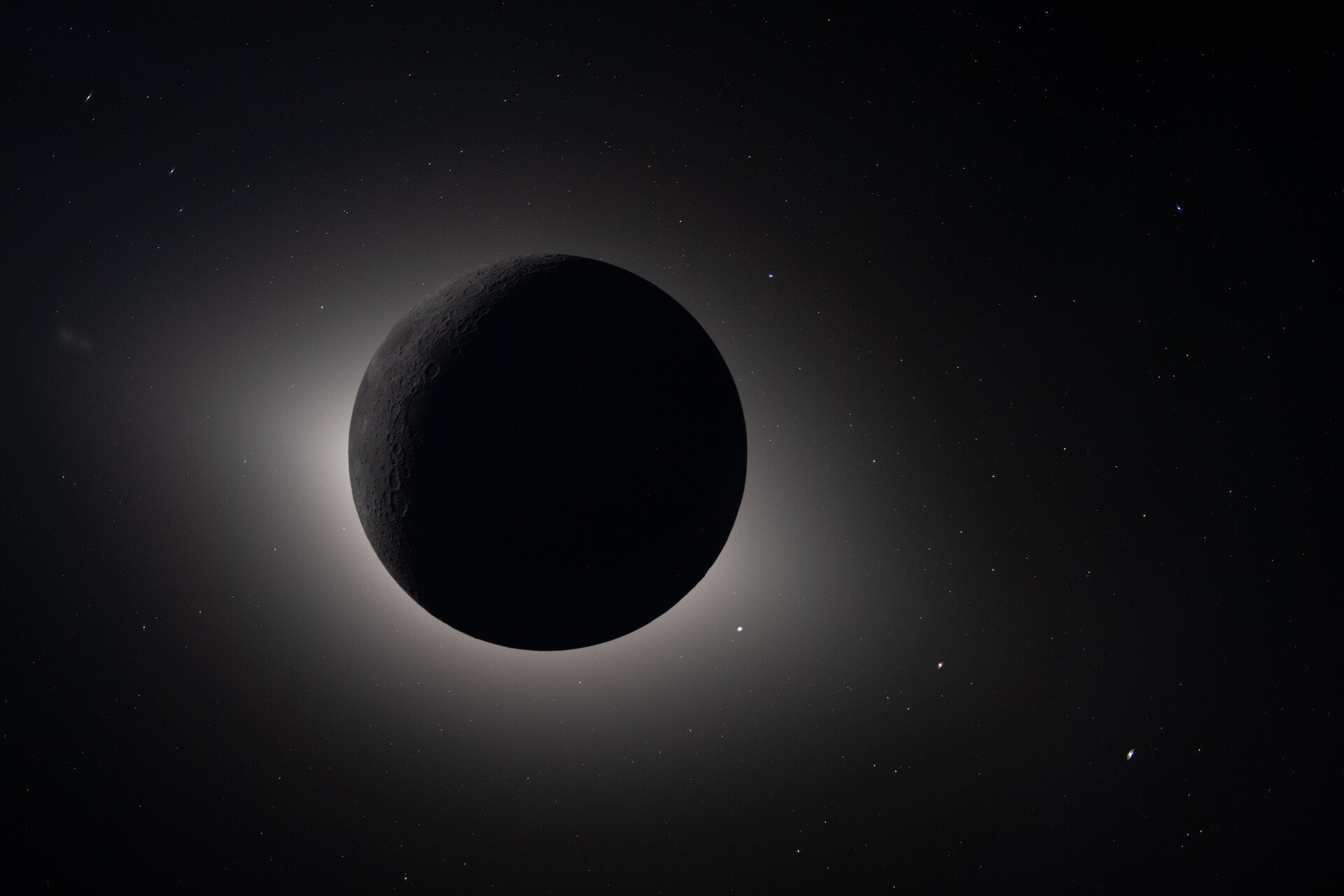
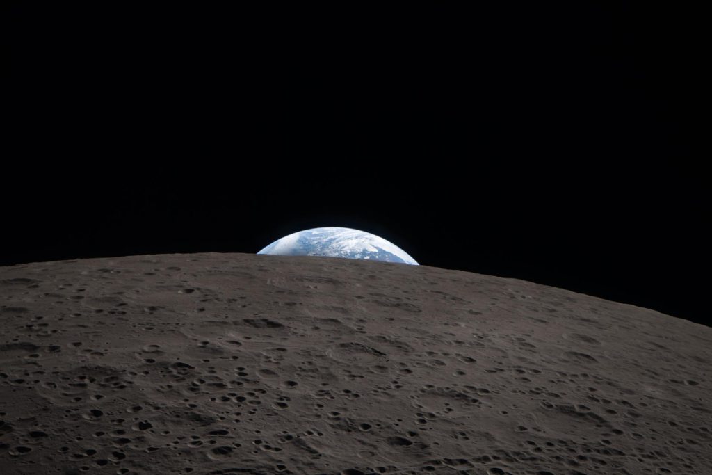
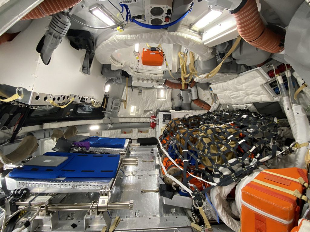
NASA has made approximately 800 gigabytes of scientific data from the Artemis II mission available to the public. The archive documents the crew’s return to the far side of the moon and includes 11,000 full-resolution images and videos. It also contains 8.5 hours of spoken observations, astronaut notes, transcripts, and photographs taken from the Orion capsule.
The agency describes this release as the first set of planetary science data obtained outside Earth and directly by humans in more than half a century. The closest comparable precedent dates back to the Apollo era missions to the lunar surface. Alongside the data, NASA published three reports summarizing the mission’s findings: the Artemis II Preliminary Lunar Science Report, the Artemis II Lunar Science Operations Report, and the Artemis II Lunar Science Data User Guide.
Artemis II data access and analysis
The near terabyte of information is hosted on the Planetary Data System, NASA’s public repository for planetary mission data. While the release is open to anyone, it is primarily intended for the scientific community. Researchers on Earth will analyze the data captured by the astronauts to produce new findings about the moon.
The data is expected to be particularly useful for planetary geologists, flight engineers, heliophysicists, and specialists in telecommunications, remote sensing, and meteoroid impacts. For space enthusiasts, the most accessible materials include mission transcripts and lunar photographs annotated by the crew. A dedicated Artemis II science page allows users to download the three reports, view selected photographs, and access the mission’s audio library.
Meteoroid impacts and lunar terrain
Initial analyses of the Artemis II data have already yielded concrete results. The most clear-cut finding is the detection of five small meteoroid impacts on the lunar surface during the 54-minute eclipse observed by the Orion crew. Recording these flashes helps improve estimates of how often fragments just a few centimeters in size strike the moon. This information is a key factor in calculating the risks future bases, vehicles, and astronauts will face.
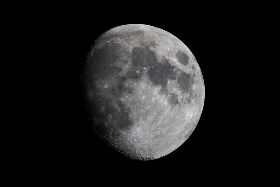
The observations also documented differences in color, brightness, and texture among various lunar regions. Scientists can compare these findings with composition maps previously obtained from orbit. Photographs taken near the terminator, the boundary between lunar day and night, show in great detail how terrain and visibility change when the sun is very low on the horizon. These conditions are common near the south pole, where NASA plans to conduct the next Artemis missions. The data will help astronauts anticipate challenges related to navigation, lighting, and terrain recognition.
Source: Wired
